


Your Custom Text Here
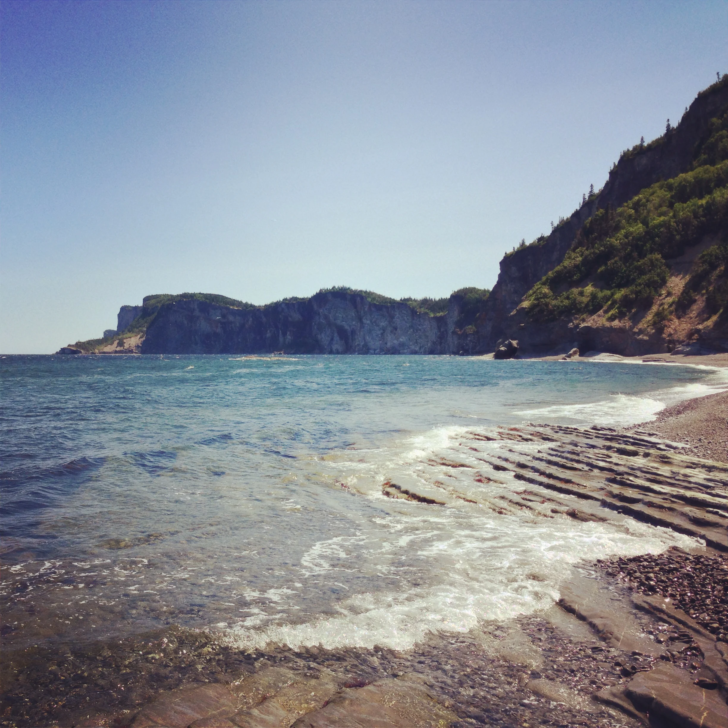
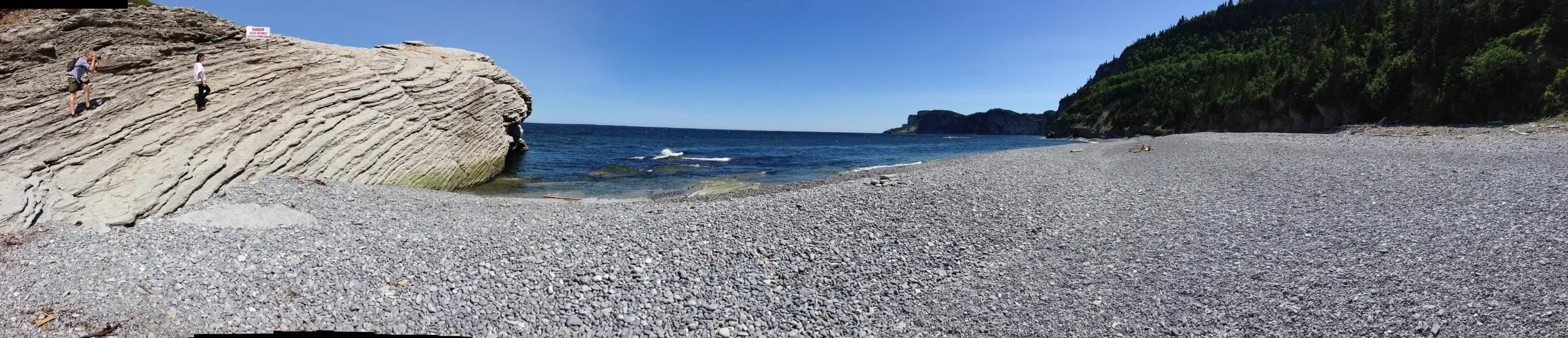
At the far eastern reach of the Gaspé Peninsula in Quebec, Canada, the Appalachian Mountains crumble into the sea at white cliffs similar to Dover, England. This dramatic shoreline is literally the edge of the continent.
Housed inside the Parc National Forillon, it is protected by the Canadian Government and offers camping and hiking nearby. Climbing is prohibited but swimming is allowed, if you're willing to brave to cold northern waters.
Coordinates:
48°48'31.16"N
64°13'14.17"W
Directions:
Take Quebec Route 132 Est, past Quebec City, traveling out along the St. Lawrence Seaway. Eventually, you will come to the town of Gaspé.
Continue around on 132, also known as Montée Laurencelle, into Parc National Forillon. Inside the park stay headed northeast, turning right onto Chemin du Cap Bon-Ami.
This road curves around to a parking lot and a vantage point.
Take the staircase down to the rocky beach and enjoy.